

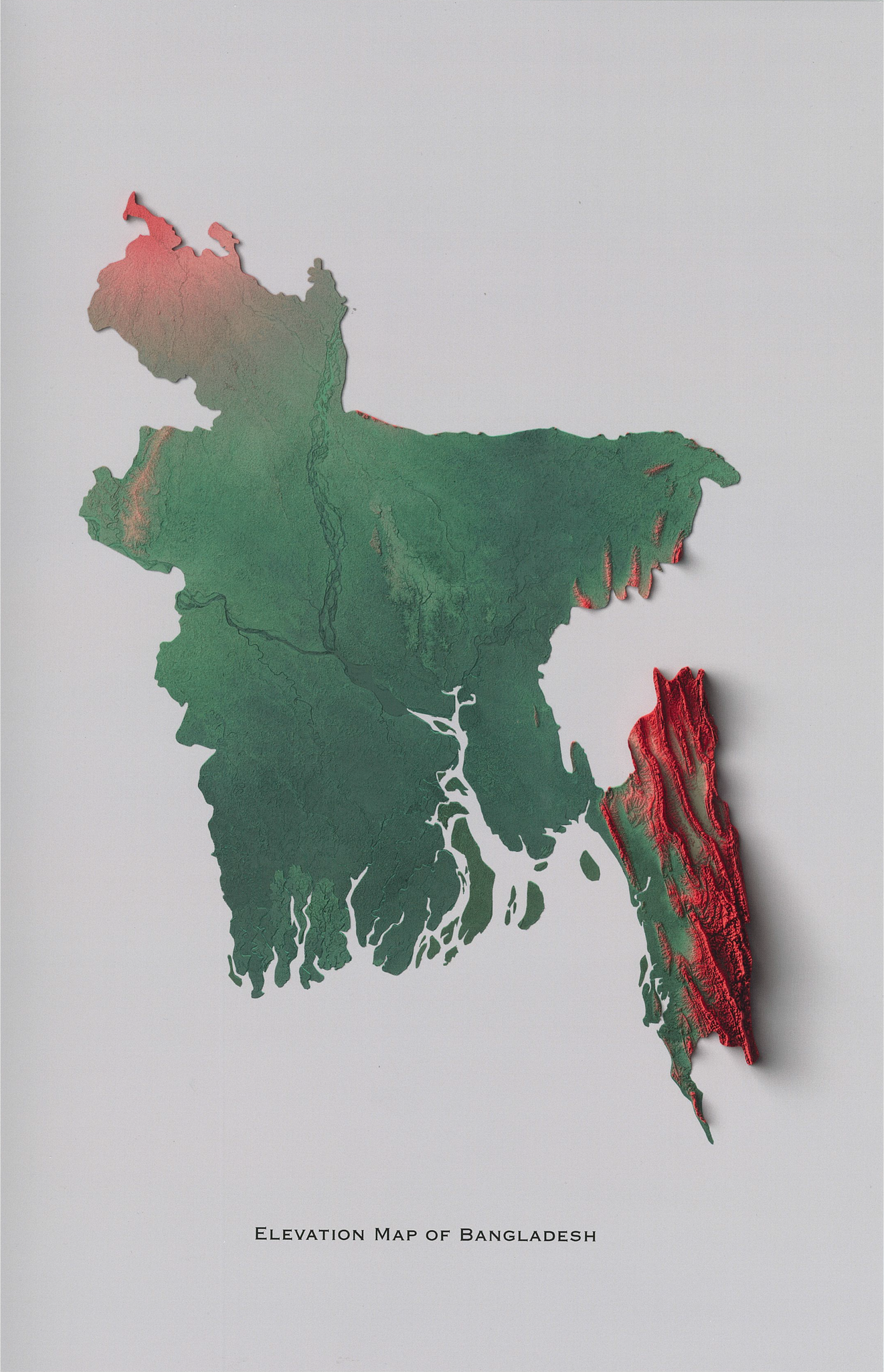

Elevation Map of Bangladesh
Regular price
$26.50
This map is a digitally rendered topographic representations of Bangladesh (printed in 2D). In order to create these maps, Digital Elevation Data (DEM) is obtained from NASA's Shuttle Radar Topography Mission and is processed and digitally rendered to create a highly detailed elevation profile of Bangladesh and printed on a flat surface. Different hypsometric colours, based on the flag and national colours of Bangladesh, are used to highlight the difference in elevation, creating this beautiful artwork.
-
11" x 17" matte paper
-
Printed in 2D
-
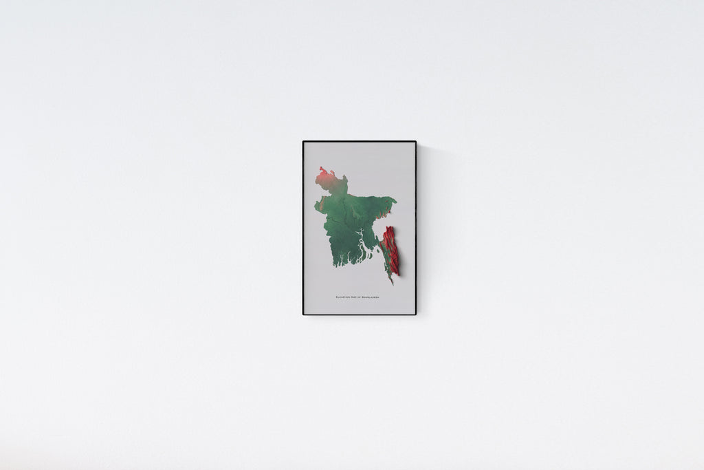
Frame not included
- Frame used in photo: https://amzn.to/3O81zfa